On 1st Sep, the 2016 Surveying and Mapping Geo-Information Coordinates Transformation training Seminar held by LJDY was opened in Nanning, Guangxi province. Over 150 representatives from different companies, institutes and government departments attended the meeting. As the coordinate transformation software and service provider, LJDY gives an overall training on DEU2000® coordinate transformation solution and CGCS2000 coordinate transformation project.

Seminar
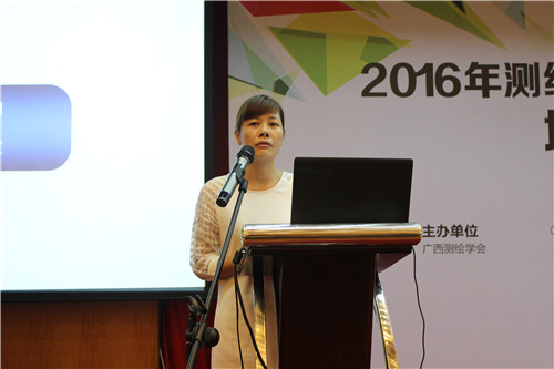
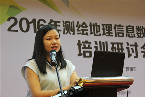
At the start of the meeting, Lv Xinqiang, the president of Guangxi Surveying and Mapping Academy, Li Yunjian, the director of Guangxi Surveying and Mapping Product Quality Inspection Station and Fang Danna, the Chief Engineer of Nanning Homeland Surveying and Mapping Geo-Information Center addressed a speech respectively. Till now, Nanning coordinate transformation project has served more than 100 departments and Surveying and Mapping units. Provided by LJDY, DEU2000® has been widely and successfully applied in the information center of Guangxi Homeland Resource Office and other 14 Homeland Resource Offices. In future, all units will support related surveying and mapping units to promote the application of CGCS 2000.
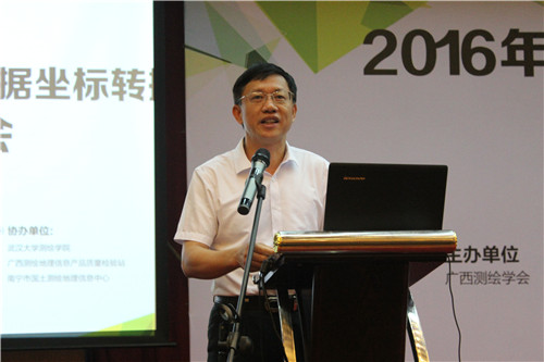
Lv Xinqiang, President of Guangxi Surveying and Mapping Academy, Addressing A Speech

Li Yunjian, Director of Guangxi Surveying and Mapping Product Quality Inspection Station
Fang Danna, Chief Engineer of Nanning Homeland Surveying and Mapping Geo-Information Center, Addressing A Speech
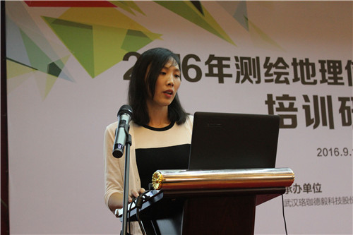
The training instructors from LJDY gave a detailed introduction on DEU2000® Coordinate Transformation Overall Solution, its project operation procedure and regulations. Also, through software practice, they shared experience with all attendees.
Mei Xujuan, Technical Support Manager from LJDY, Introducing the DEU2000® Coordinate Transformation Overall Solution
Zhang Jingyu, Product Manager from LJDY, giving training on DEU2000® Software Operation
Based on the requirements in the coordinate transformation market, LJDY designed the coordinate transformation software according to the Geo-Information data in Guangxi. Data of different periods, sources and scales are able to be transformed. DEU2000® software integrated the coordinate transformation and projection transformation among CGCS2000, Beijing 54, Xi'an 80 and WGS84. The transformation model and result precision is as required by the National Ministry of Surveying, Mapping and Geoinformation.
In 2012, Deu2000® became the only software that was recommended and awarded by the Remote Sensing Center of National Science and Technology Ministry. In 2016, it received A Second Prize of "Science and Technology Advancement in Geoinformation".Presently, Deu2000® has been applied successfully in the coordinate transformation project in Shenzhen, Fujian, Hunan, Henan, Tianjin, Hubei, Zhejiang, Anhui and other places in industries such as homeland, surveying and mapping, electricity and water conservation.
In future, LJDY will keep exploring DEU2000® software to provide better software and service in the nationalization of CGCS 2000.